White Sheet Hill
Near Mere, Wiltshire
Two weeks after the Alfred's Tower star, a four-fold design about 180 feet across appeared in young barley below White Sheet Hill. Its circles and partly hidden rings were built around the old puzzle of squaring the circle, which some see as a symbol of Heaven meeting Earth.
Read the full story, see it on the map, get directions and find what else is nearby in the free Hidden Britain Atlas map.
- When
- 22 May 2026
- Where
- 51.1178, -2.2875
- Group
- Crop circles
Visiting
White Sheet Hill is National Trust land with a car park. The field below is private.
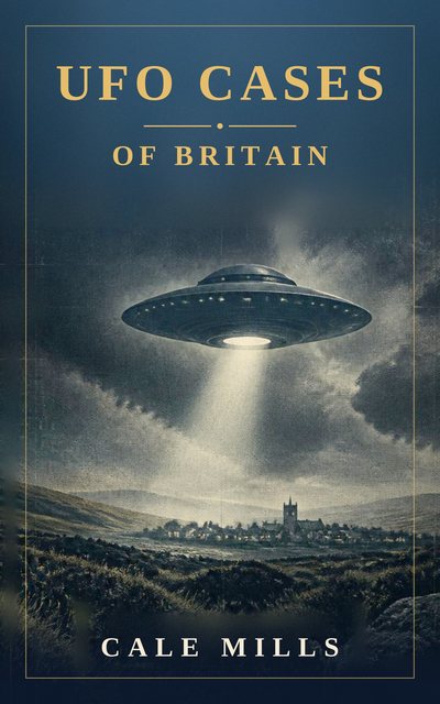
UFO Cases of Britain
Fifty-four real and closely examined British UFO cases, weighed with honesty rather than hype. From Rendlesham Forest, the best-documented UFO case the United Kingdom has ever produced, to the Berwyn Mountains, the Broad Haven schoolchildren, the Calvine photograph and the Bonnybridge hotspot, each case sets out what was seen, who saw it and what the explanations are.
Nearby mysteries
- The Grotto at StourheadCave or grotto · Stourton, Wiltshire · 2 miles away
- King Alfred's TowerTower or folly · Stourhead, on the Somerset–Wiltshire border · 3 miles away
- Jack's Plantation StarCrop circle · Below King Alfred's Tower, near Bruton, Somerset · 3 miles away
- The Gallops KnotCrop circle · Sutton Veny, near Warminster, Wiltshire · 7 miles away
- Nunney CastleCastle or abbey · Nunney, near Frome, Somerset · 8 miles away
- WarminsterUFO case · Cradle Hill, Wiltshire · 8 miles away