Normanton Down Square
Near Normanton Down Barrows, Stonehenge, Wiltshire
Two weeks after the 'starfish', a second formation appeared about half a mile south of Stonehenge, close to the Normanton Down barrows, a line of Bronze Age burial mounds. Unusually, it was square, with circles set into each of its sides.
Read the full story, see it on the map, get directions and find what else is nearby in the free Hidden Britain Atlas map.
- When
- 14 July 2024
- Where
- 51.1720, -1.8320
- Group
- Crop circles
Visiting
The barrows can be seen from the public byway south of Stonehenge.
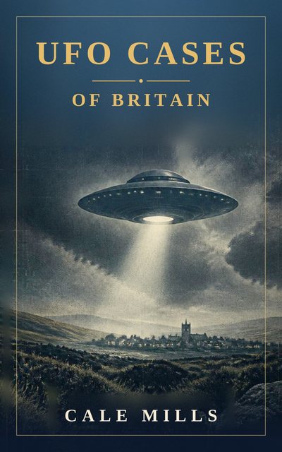
UFO Cases of Britain
Fifty-four real and closely examined British UFO cases, weighed with honesty rather than hype. From Rendlesham Forest, the best-documented UFO case the United Kingdom has ever produced, to the Berwyn Mountains, the Broad Haven schoolchildren, the Calvine photograph and the Bonnybridge hotspot, each case sets out what was seen, who saw it and what the explanations are.
Nearby mysteries
- The Julia SetCrop circle · Opposite Stonehenge, Wiltshire · under a mile away
- Bush BarrowAncient monument · Normanton Down, Wiltshire · under a mile away
- StonehengeAncient monument · Salisbury Plain, Wiltshire · under a mile away
- The Stonehenge StarfishCrop circle · Near the Stonehenge visitor centre, Wiltshire · 1 mile away
- WoodhengeAncient monument · Near Amesbury, Wiltshire · 2 miles away
- Durrington WallsAncient monument · Near Amesbury, Wiltshire · 2 miles away