Hackpen Hill
Near Broad Hinton, Wiltshire
Hackpen Hill, with its chalk white horse cut in 1838, overlooks fields that have hosted crop formations again and again since the 1990s. The Ridgeway, Britain's oldest road, runs along the top, so walkers often get the first view of a new pattern from above.
Read the full story, see it on the map, get directions and find what else is nearby in the free Hidden Britain Atlas map.
- When
- From the 1990s
- Where
- 51.4930, -1.8010
- Group
- Crop circles
Visiting
Car park on the Ridgeway at the top of the hill. Keep to public paths.
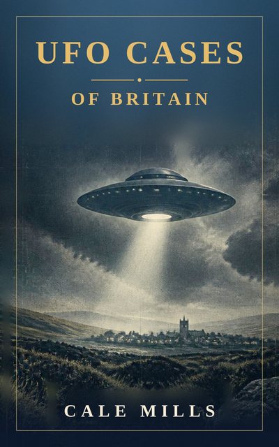
UFO Cases of Britain
Fifty-four real and closely examined British UFO cases, weighed with honesty rather than hype. From Rendlesham Forest, the best-documented UFO case the United Kingdom has ever produced, to the Berwyn Mountains, the Broad Haven schoolchildren, the Calvine photograph and the Bonnybridge hotspot, each case sets out what was seen, who saw it and what the explanations are.
Nearby mysteries
- Hackpen White HorseHill figure · Hackpen Hill, Wiltshire · under a mile away
- Barbury Castle PiCrop circle · Near Wroughton, Wiltshire · under a mile away
- Broad Hinton SpinnerCrop circle · Below Hackpen Hill, Wiltshire · 2 miles away
- Broad Town White HorseHill figure · Near Wootton Bassett, Wiltshire · 4 miles away
- Avebury Rings 2026Crop circle · By the henge near Green Street, Avebury, Wiltshire · 5 miles away
- Windmill Hill Triple Julia SetCrop circle · Near Avebury, Wiltshire · 5 miles away