The Discovery of Ley Lines
Blackwardine, near Leominster, Herefordshire
On 30 June 1921 Alfred Watkins, a Hereford businessman and keen photographer, was looking at a map near Blackwardine. He suddenly noticed that ancient sites, such as standing stones, hillforts and old churches, seemed to fall along straight lines across the country.
Read the full story, see it on the map, get directions and find what else is nearby in the free Hidden Britain Atlas map.
- When
- 30 June 1921
- Where
- 52.2150, -2.6500
- Group
- Unexplained
Visiting
Blackwardine is a quiet hamlet. Hereford Museum holds Watkins's photographs.
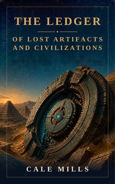
The Ledger of Lost Artifacts and Civilizations
Not every mystery needs a lost continent. This book investigates fifty-nine real and often overlooked puzzles from the ancient and modern world: a temple older than farming itself, astonishing structures, out-of-place artifacts, and technologies lost to time. Each case is weighed honestly, with a clear ledger of the case for and against, so you can make up your own mind. Some cases collapse under scrutiny. Others remain genuinely unexplained. All of them are stranger than Atlantis.
Nearby mysteries
- The Herefordshire HoardLost treasure · Near Leominster, Herefordshire · 4 miles away
- Mortimer's CrossBattlefield · Near Leominster, Herefordshire · 9 miles away
- The Brinsop DragonDragon or monster · Brinsop, Herefordshire · 11 miles away
- The Mordiford DragonDragon or monster · Mordiford, Herefordshire · 12 miles away
- St Ann's WellHoly well · Great Malvern, Worcestershire · 15 miles away
- The Battle of Bryn GlasBattlefield · Pilleth, Powys · 19 miles away